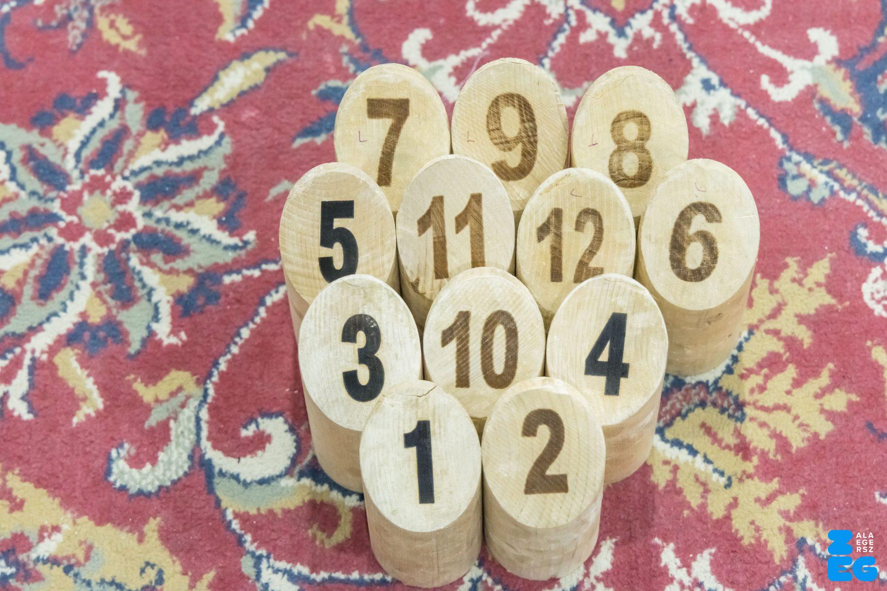
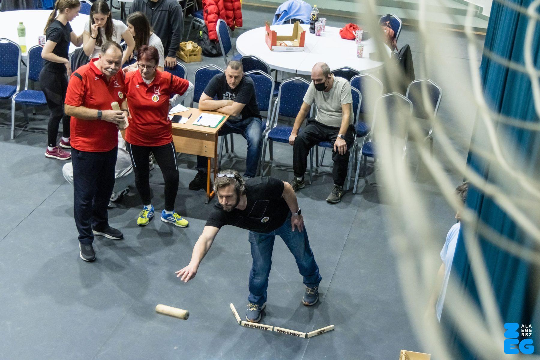
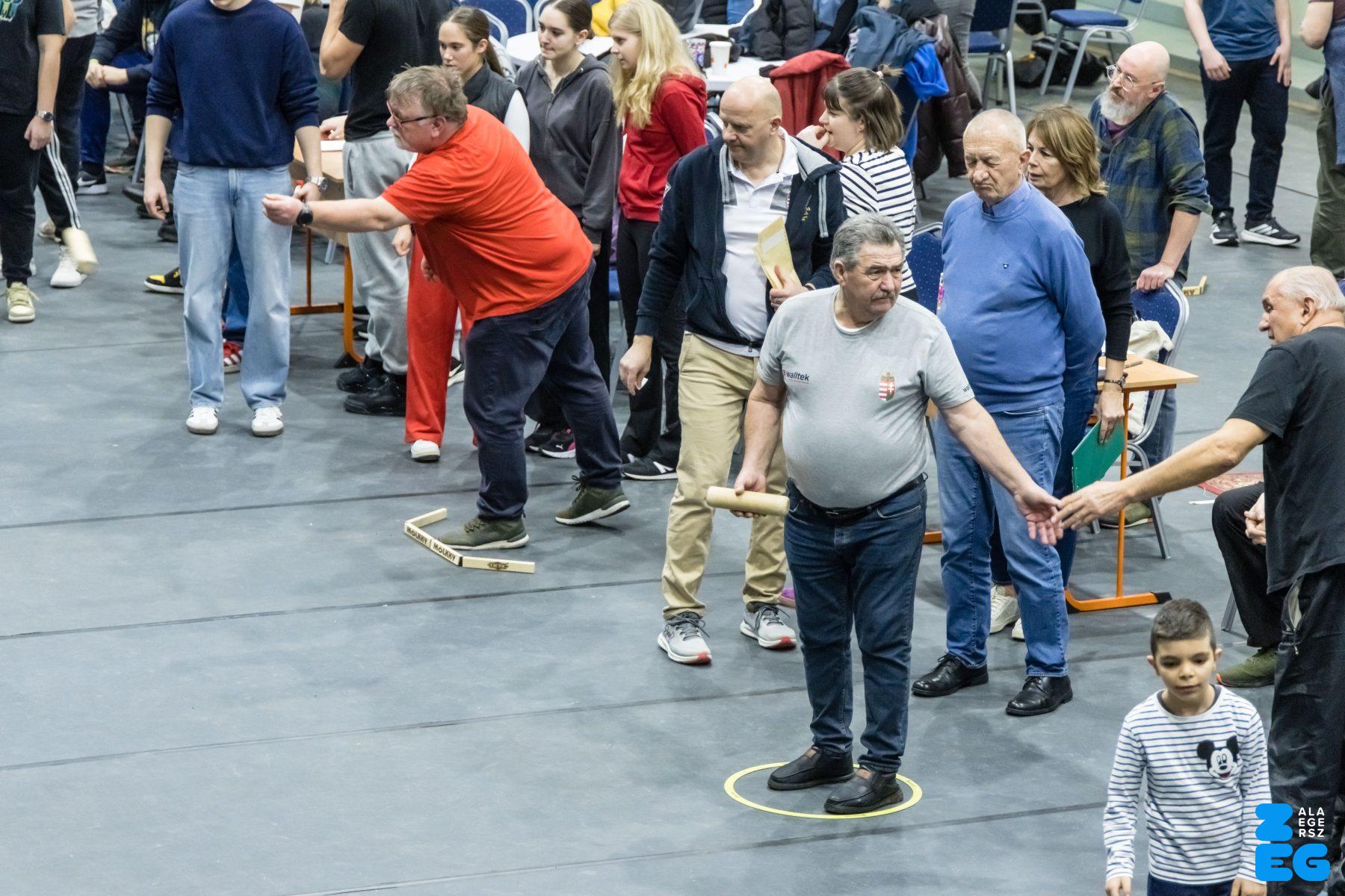
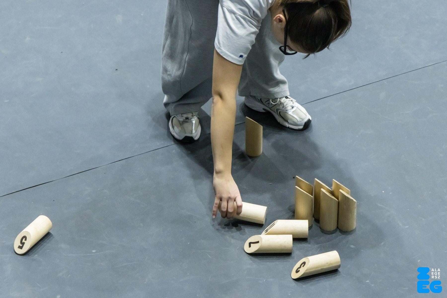
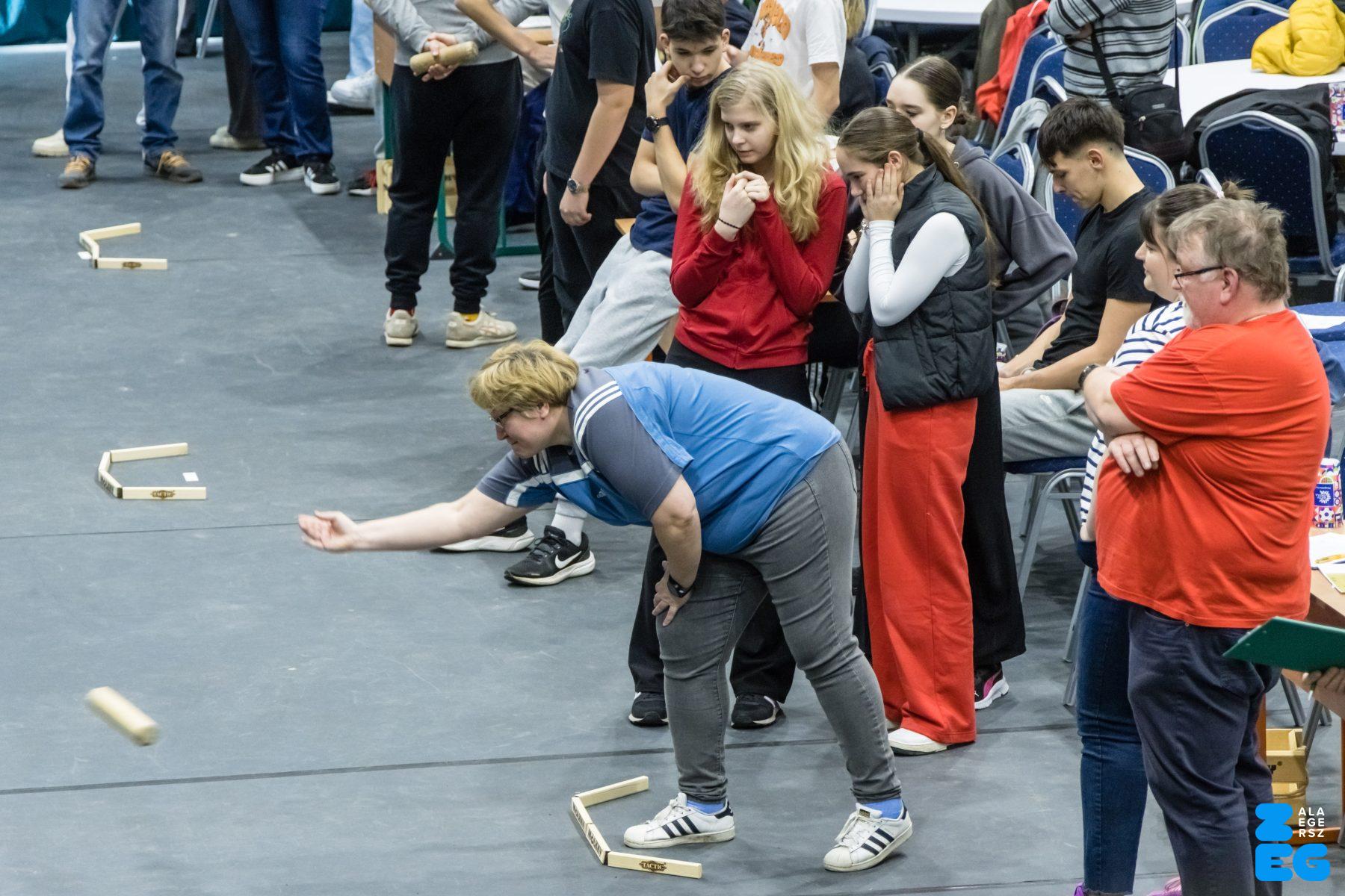
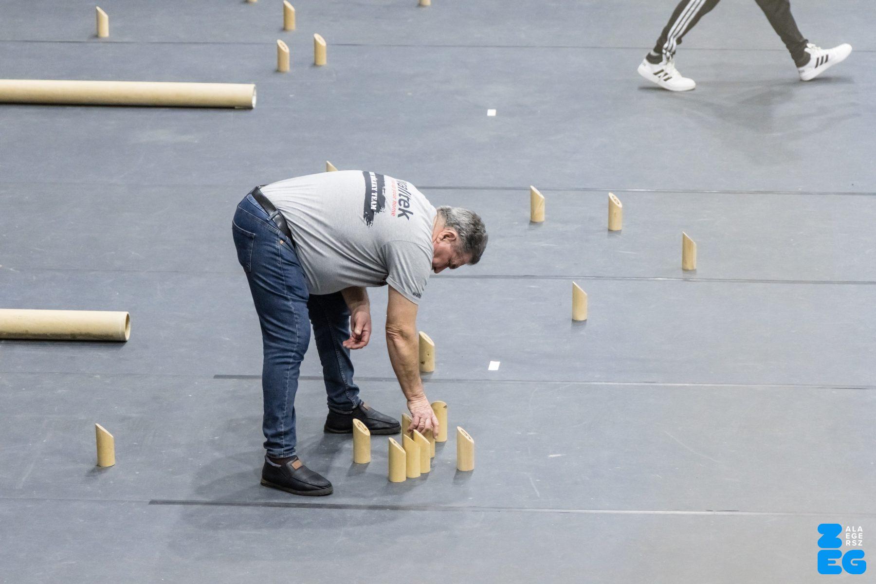
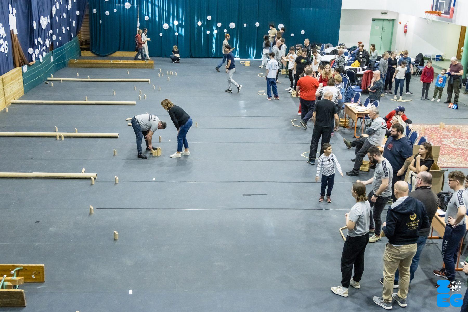
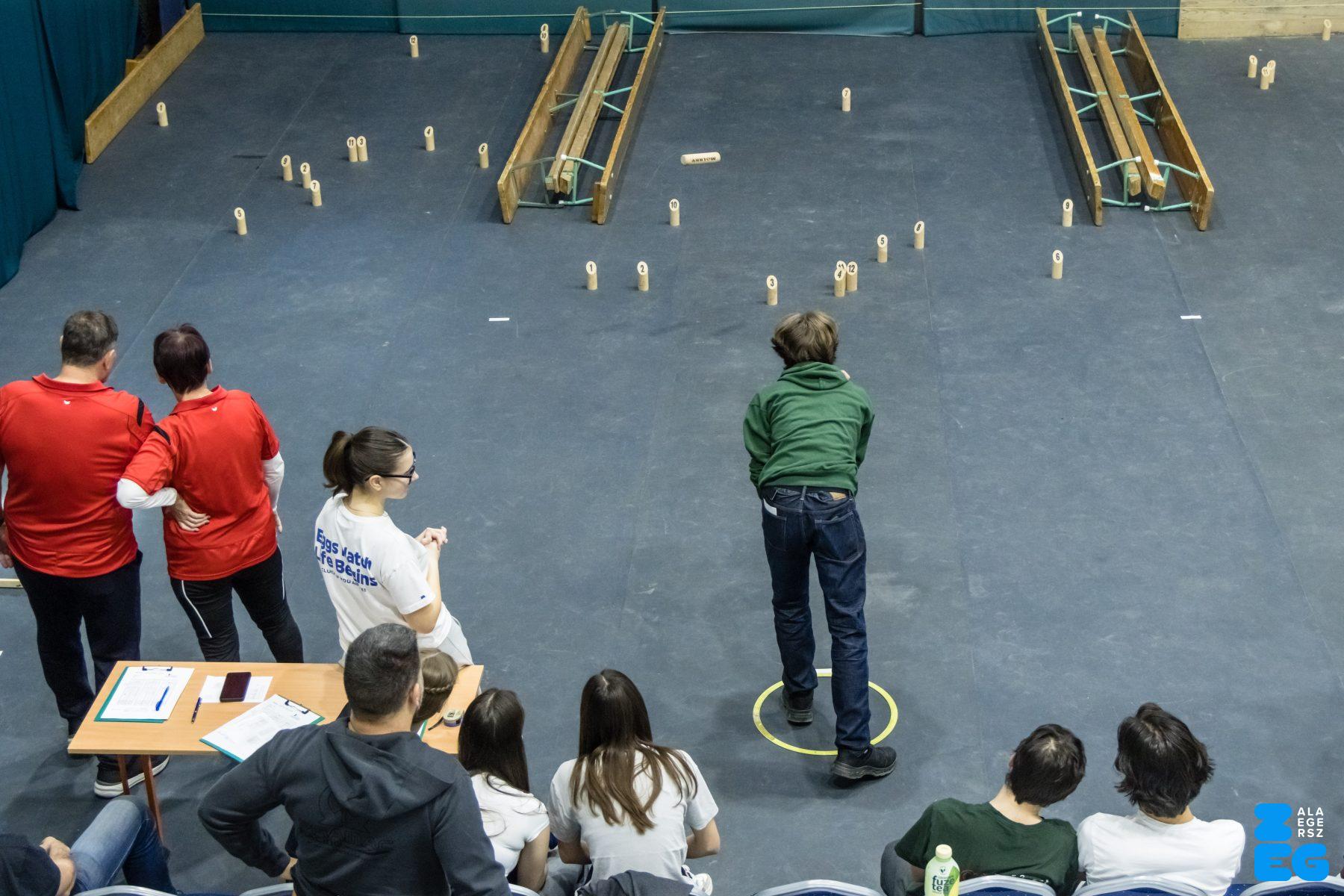
2. „Lazala” Mölkky nyílt magyar kupa (Zrínyi Miklós Gimnázium Rozsnyói Ferenc tornacsarnok. 2026.02.07.) – Fotó: Katona Tibor
2. „Lazala” Mölkky nyílt magyar kupa

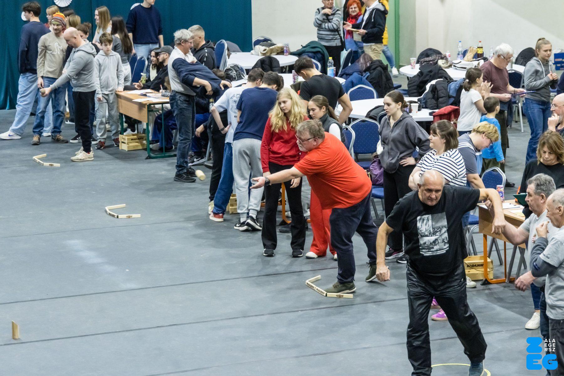
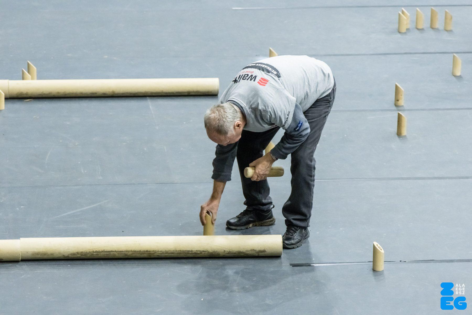
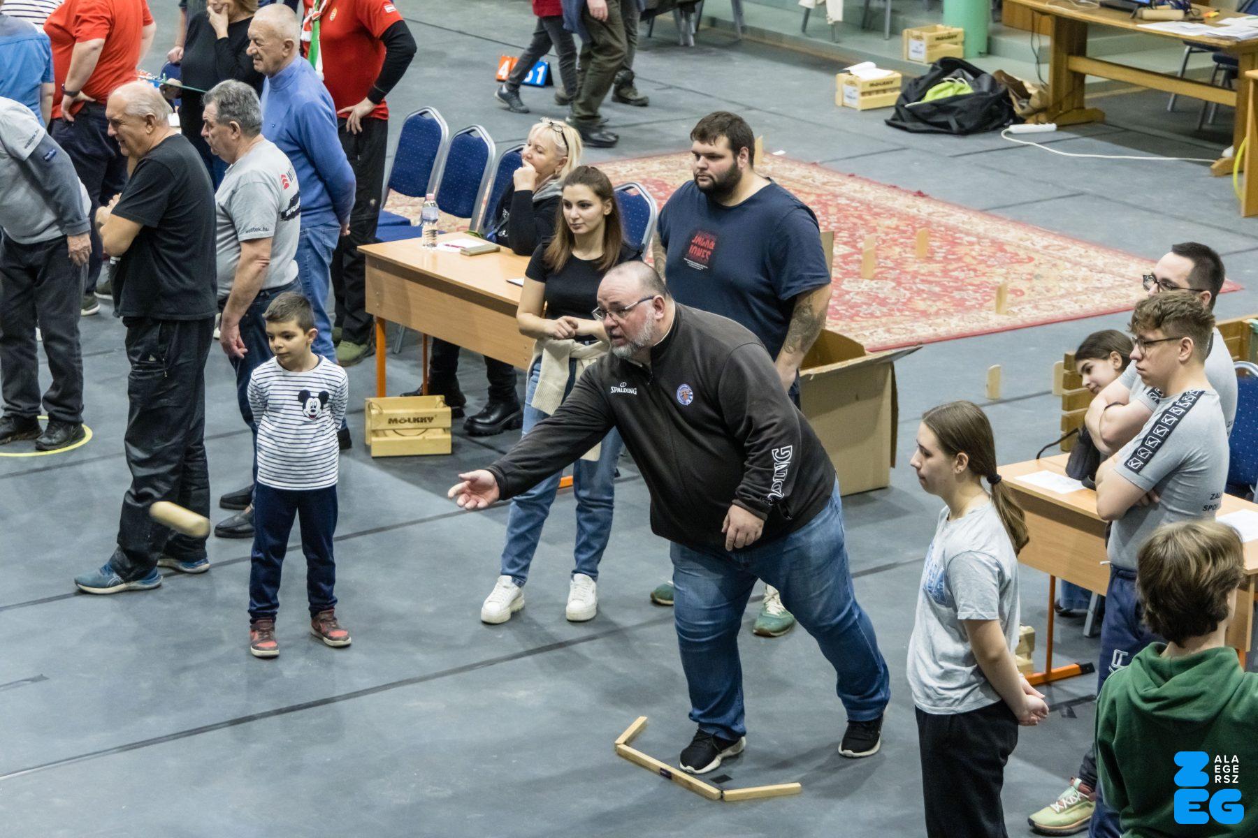
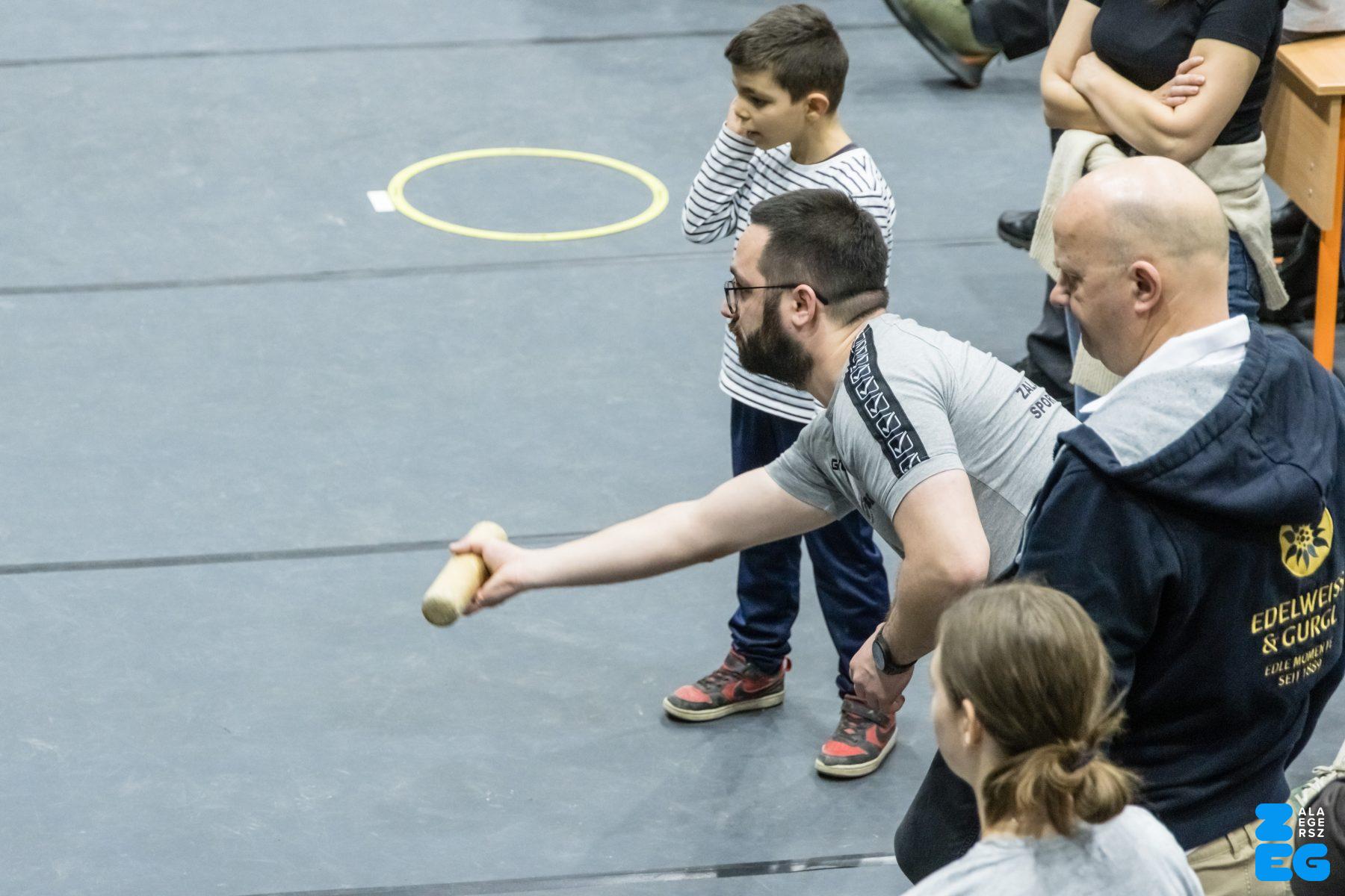
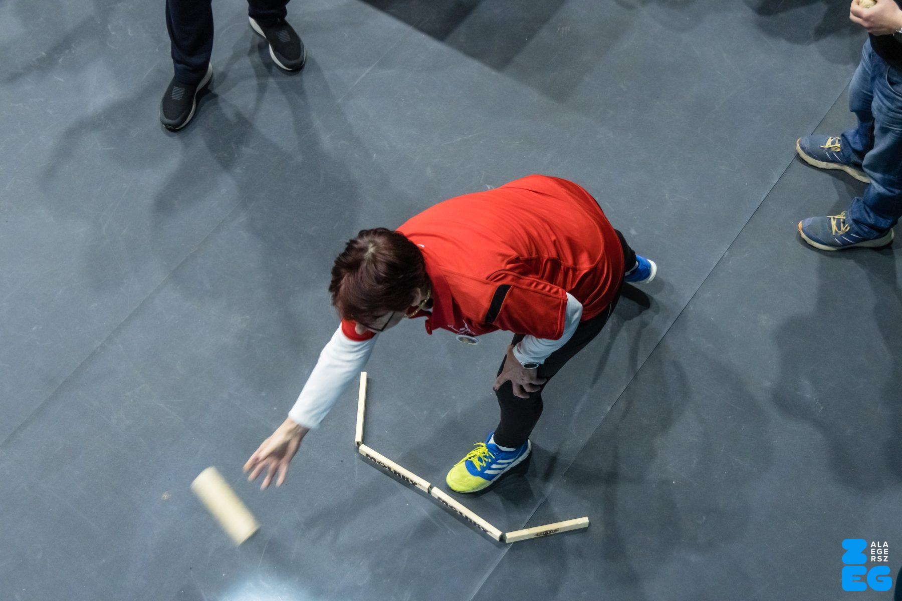
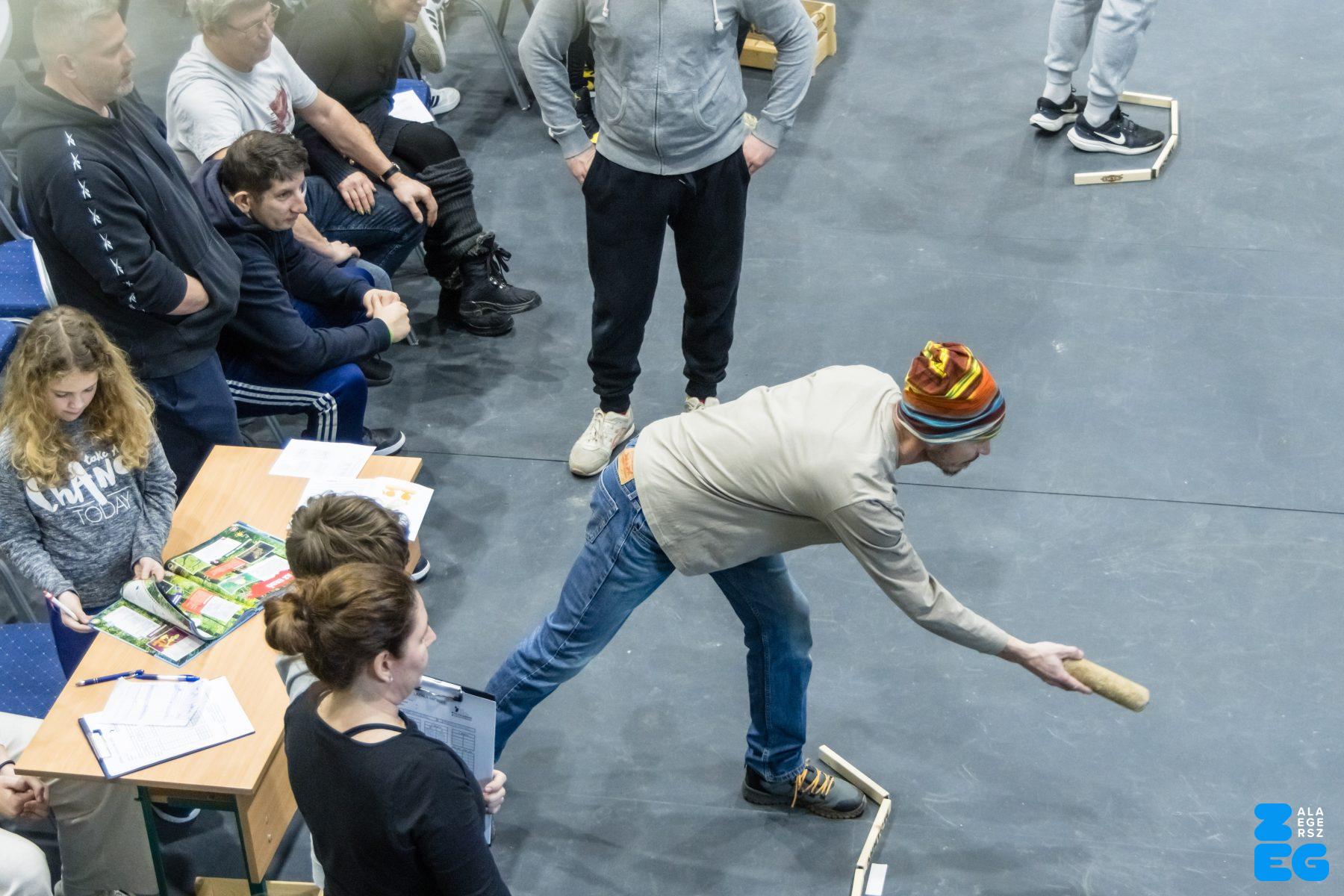


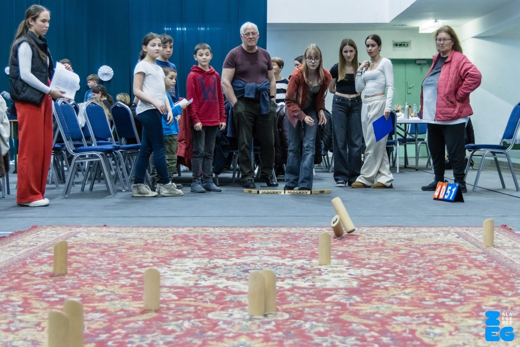
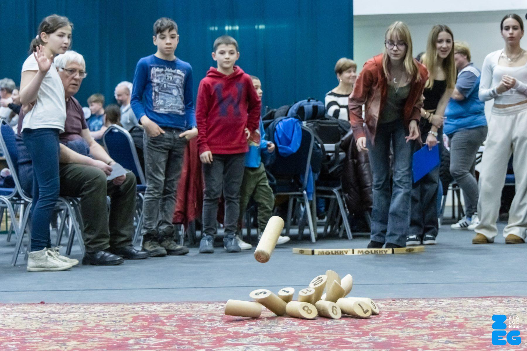
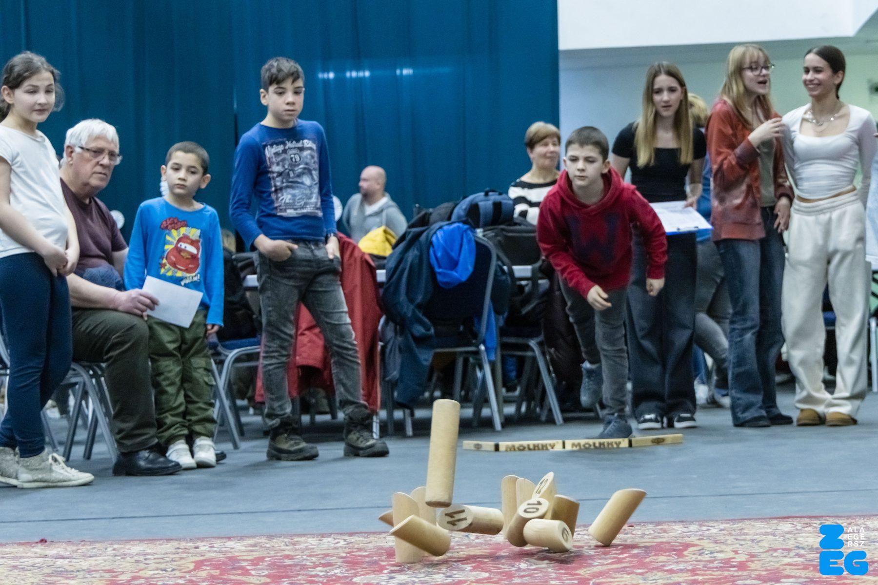
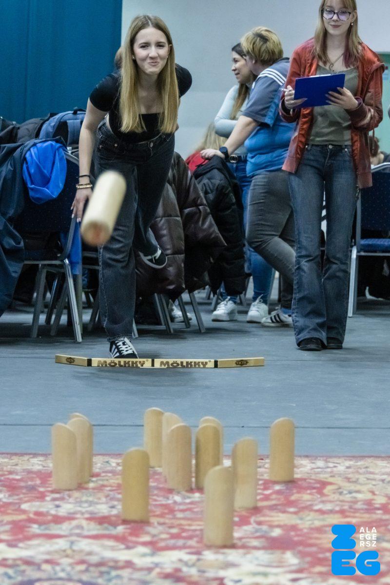

2. „Lazala” Mölkky nyílt magyar kupa (Zrínyi Miklós Gimnázium Rozsnyói Ferenc tornacsarnok. 2026.02.07.) – Fotó: Katona Tibor
Tartalom megosztása: